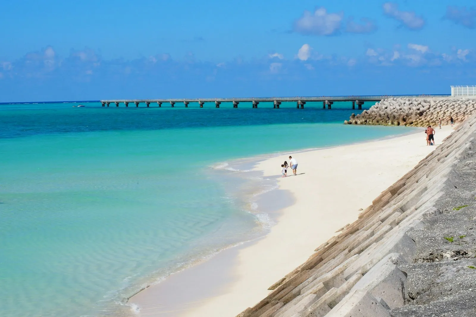
Japan's beach country is a flight away
Nothing on the Tokyo to Kyoto corridor is a beach holiday. Most of Honshu, Shikoku and Kyushu is humid subtropical with four real seasons, and Hokkaido is cold; the swimming is in the Ryukyu islands at the southern end of the country, which run from subtropical to tropical. Okinawa Island, the largest of them, sits roughly 640 km south of Kyushu and 500 km north-east of Taiwan, so you fly. Plan the islands as their own trip or as a tail on a longer one, and do not try to squeeze them between two shinkansen legs.
Okinawa Island: the main island, and what it really is
Okinawa Island is about 106 kilometres long, 11 kilometres wide on average and covers 1,206.98 square kilometres, with Naha in the south-west as the prefectural seat. It is a place with its own history: the Ryukyu Kingdom was founded in 1429 by King Sho Hashi, with its capital at Shuri Castle, and it was a separate kingdom long before it was a prefecture. It is also not one continuous stretch of resort coast, because United States military installations cover roughly a quarter of the island. The south carries the memory of the Battle of Okinawa, fought from 1 April to 22 June 1945; the Cornerstone of Peace at Itoman lists 149,193 people from Okinawa killed.
Ishigaki and the Yaeyama islands
Ishigaki lies about 411 kilometres south-west of Okinawa Island and roughly 300 kilometres off the north-east coast of Taiwan, and it is the second largest of the Yaeyama group after Iriomote. This is where the water gets serious. Much of the island and the sea around it, including Mount Omoto and Kabira Bay, is protected inside Iriomote-Ishigaki National Park, and Kabira Bay is the postcard: pale water, small islands, glass-bottomed boats rather than swimming in parts of it, so check the local rules at the bay itself. New Ishigaki Airport is the largest in the Yaeyamas and the port is the gateway to the rest of the group.
Iriomote, and the islands past Ishigaki
Iriomote is the largest of the Yaeyama islands and, with the waters around it, sits inside the same national park, which tells you what to expect: forest, river mouths and a coast that is protected rather than developed. You reach it and the smaller islands by boat from Ishigaki port, which serves as the gateway to the group, so the practical question is the ferry timetable, not the road. Check sailings the day before rather than the week before, because weather cancels boats here. Treat these islands as slow days: one beach, one walk, one meal of Okinawan chanpuru, and the last boat back in your head all afternoon.
The mainland coast, honestly
If you are not flying south, treat mainland beaches as an afternoon rather than a holiday. Kamakura, an hour or so of train from Tokyo, ends at the sand of Yuigahama, where the river from the Asaina pass meets the sea after about 8 kilometres, and that is a fine way to finish a day of temples. Beyond that, the honest answer is that the mainland has a short swimming season, beaches that fill on summer weekends and a typhoon window that closes them, so check the local season and flag system on the day rather than planning a week around it. The Ryukyus are where the beach trip belongs.
Typhoons, timing and staying online
The season is the whole decision. Typhoons cross the islands from June to December, peaking from July to September, which is exactly when the water looks best in photographs, so watch the Japan Meteorological Agency alerts on your phone and keep a spare day at either end of an island trip. The rainy season on the mainland runs early June to mid-July. Golden Week from 29 April to 5 May, Obon in mid-August and New Year fill flights and hotels across the country, islands included. Book internal flights early, and do not plan a boat connection on the day you fly home.
Goodbars sells a Japan eSIM you install at home and switch on when you land; it runs on NTT docomo, Japan's largest mobile network by mobile contracts, and our Japan coverage page shows where it reaches and what independent speed tests measure, though on small islands and on the water you should expect any network to be patchier than in the cities.