What you are actually climbing
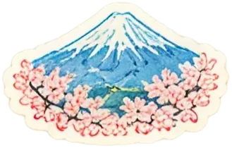
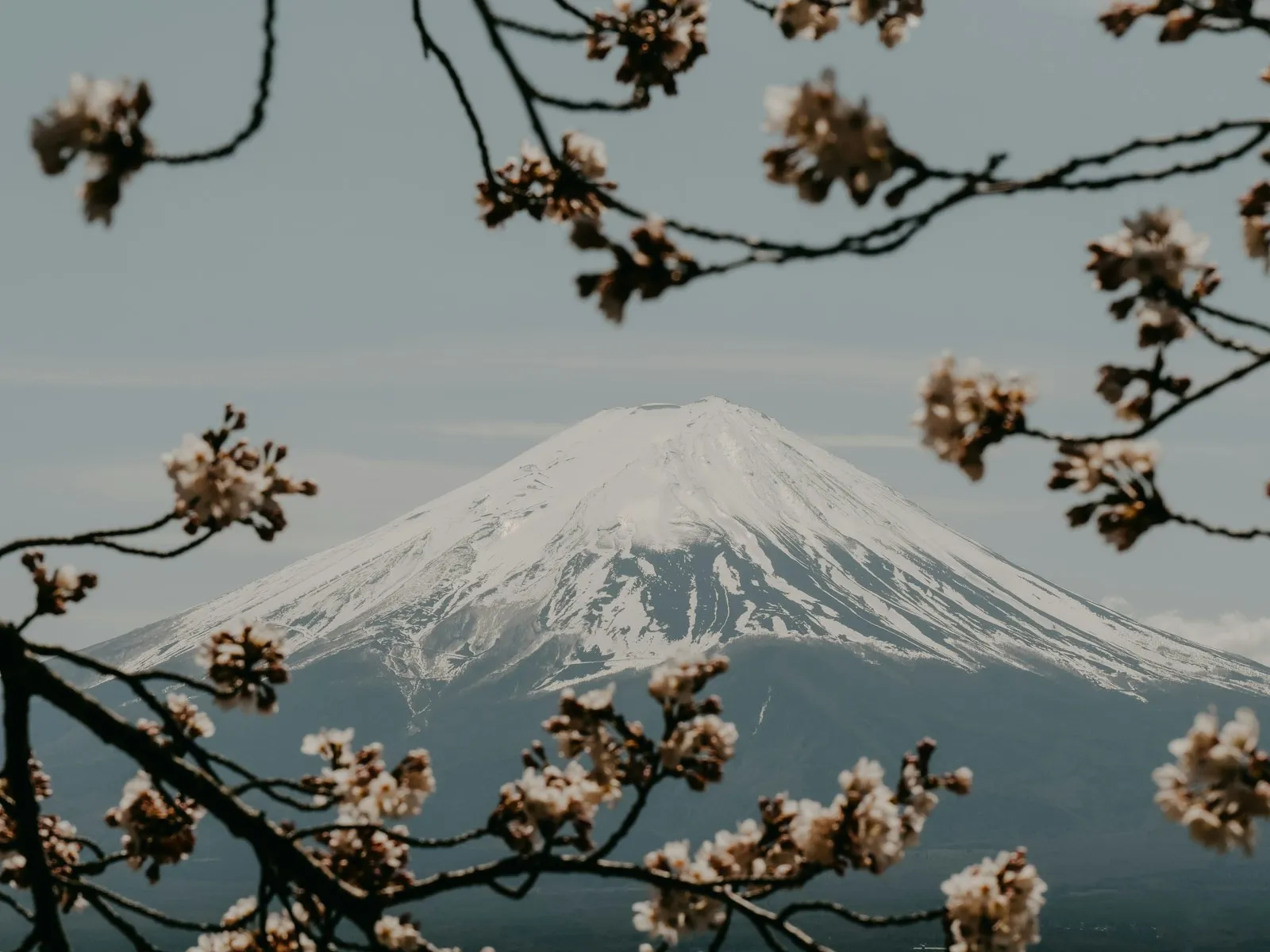
Mount Fuji is an active stratovolcano on Honshu with a summit at 3,776.24 metres, the highest point in Japan, and it last erupted from 1707 to 1708. It stands about 100 kilometres south-west of Tokyo and is visible from the city on clear days, which is how most people meet it. Snow covers the cone for roughly five months of the year. Fuji is one of Japan's Three Holy Mountains along with Mount Tate and Mount Haku, it was added to the World Heritage list as a cultural site on 22 June 2013, and UNESCO recognises 25 sites of cultural interest in the area around it, including the Shinto shrine Fujisan Hongu Sengen Taisha. Treat it as a mountain with a shrine on top rather than a viewpoint with a path.
The season decides everything
Fuji is climbed in the summer season and at no other time. The trails, the huts and the services on the mountain are opened for that window by the prefectures, and the dates move, so the official Yamanashi and Shizuoka pages are the only place to read them for the year you are going. Two outside clues tell you how short the window is. The seasonal snowcap appears on an average date of 2 October, and our carrier switches on the 5G it publishes for the summit only during the climbing season. Then check the weather layer on top of that: the typhoon season runs from June to December and peaks from July to September, exactly across the climbing window, and the UK FCDO notes temperatures often exceeding 35 degrees in July and August down at sea level.
The daily cap and the fee
Fuji is no longer a mountain you simply turn up on. Yamanashi Prefecture has set a cap of 4,000 climbers a day and began charging an entrance fee of 2,000 yen, which is the response to the crowds the mountain now draws. Those two figures come from Wikipedia's article on tourism in Japan, not from a prefectural page we have checked ourselves, and the rules have been revised more than once, so read the current Yamanashi rules for the season you are climbing. The Shizuoka side is governed separately and we have not checked its figures at all: if you plan to start from that side, find its own rules rather than assuming they match. Book, pay and register whatever the prefecture asks for before you travel, because the checks happen at the trailhead.
What the mountain does to you
This is high, cold, loose ground, and the numbers say so. The lowest temperature recorded at the summit is minus 38.0 degrees, in February 1981, and the highest is 17.8 degrees, in August 1942; the staffed weather station up there was closed in September 2004 after 72 years of operation. Slope angles from the crater outwards run between 31 and 35 degrees, the angle of repose for dry gravel, which is what makes the descent a slide rather than a walk. The UK FCDO names altitude sickness as a risk in parts of Japan, and altitude is the part of this climb that catches fit people out: go slowly, sleep or rest on the way up if the schedule allows, and turn around if your head is pounding. The emergency number for an ambulance is 119. Medical treatment in Japan is high quality and expensive, and you should expect to pay the whole cost, so check that your insurance covers mountain walking at this altitude.
Kawaguchiko, the base at the bottom
Most climbers organise themselves around the Fuji Five Lakes, and Lake Kawaguchi is the practical one. The lakes sit at the foot of the mountain in Yamanashi Prefecture, at roughly 1,000 metres, with a population of about 100,000; the principal town, Fujiyoshida, has roughly 54,000 people and is known for its udon. Lake Kawaguchi lies in the town of Fujikawaguchiko at around 800 metres, the lowest and, by area, the second largest of the five, with the longest shoreline and cool summers set against frequently icy winters. It is inside the Fuji-Hakone-Izu National Park, it has the most developed tourist infrastructure of the five lakes, and it serves as a hub for people going up the mountain. Sleeping here the night before turns a brutal day into a manageable one.
If you are not climbing, and signal up there
Most people who come for Fuji look at it rather than climb it, and the towns below have started pushing back on how that is done. In May 2024 Fujikawaguchiko put up a large black barrier to block a view of the mountain that had gone viral, after the surge of visitors it brought. The lesson is simple: stand where you are meant to stand, keep off the road and out of people's driveways, and take your rubbish with you.
On signal, the mountain is honest with you. Our carrier lists 5G standalone at the summit as available during the climbing season only, and its own service notes say mountains, tunnels and remote areas can still be out of reach, that its coverage map is computed rather than measured, and that a 5G icon does not guarantee 5G in use. Download the route, the weather and your timetables before you start. Goodbars sells a Japan eSIM you install at home and switch on when you land; it runs on NTT docomo, Japan's largest mobile network by mobile contracts, and our Japan coverage page shows where it reaches and what independent speed tests measure.